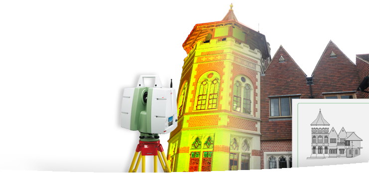
3D use quality Leica survey equipment. Strong links with Leica representatives and S.C.C.S. equipment providers ensure we always have the latest technology at our fingertips. This includes the latest G.P.S. and laser scanning eqiupment, which we can provide if required. These tools and skills enable us to provide our clients with a complete range of services.
From the simple boundary survey through to the largest specification topographical survey, all of our drawings are carefully drawn to produce a clear end result with carefully selected relevant data being shown. Data can also be produced to suit client requirements. We can provide data to required layering and in AutoCAD, Moss and Microstation formats. As LSS (Modelling Software) is run under license new releases are constantly being produced. Any new products will be fully supported and should specific requirements be sought these too may be supported.
Should volume analysis be required, years of experience have enabled our surveyors to carry out surveys in a suitable manor to enable accurate calculations from field data. From the smallest spoil heap to massive cut and fill calculations, the power of the software together with the skill of the operators and surveyors make almost any requirement a possibility.
• Topographical surveys
• Urban surveys
• Highways surveys
• Boundary surveys
• Rights of light surveys
• Volumetric surveys for calculating cut & fill quantaties
• GPS surveys which can be overlaid with Ordnance Survey data
Please click here for a survey feature request form.
